টেমপ্লেট:অবস্থান মানচিত্র হাঙ্গেরি
অবয়ব
| নাম | হাঙ্গেরি | |||
|---|---|---|---|---|
| সীমানা স্থানাংক | ||||
| 48.8 | ||||
| 15.7 | ←↕→ | 23.2 | ||
| 45.5 | ||||
| মানচিত্রের কেন্দ্র | ৪৭°০৯′ উত্তর ১৯°২৭′ পূর্ব / ৪৭.১৫° উত্তর ১৯.৪৫° পূর্ব | |||
| চিত্র | Hungary location map.svg | |||

| ||||
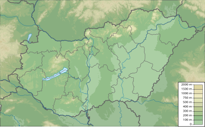
| চিত্র১ | Hungary physical map.svg | |||

| ||||
How to use an alternative map
[সম্পাদনা]This template normally displays the map shown above as image:
- Hungary location map.svg.
The AlternativeMap parameter in Template:Location map can be used to display the following image:
- Hungary physical map.svg
Further instructions and examples can be found at Template:Location map#Using Alternative Map.
আরো দেখুন
[সম্পাদনা]
