
চিত্র:MESSENGER EN0108828359M.png
এই প্রাকদর্শনের আকার: ৫৯৫ × ৬০০ পিক্সেল। অন্যান্য আকারসমূহ: ২৩৮ × ২৪০ পিক্সেল | ৪৭৬ × ৪৮০ পিক্সেল | ১,০১৬ × ১,০২৪ পিক্সেল।
পূর্ণ রেজোলিউশন (১,০১৬ × ১,০২৪ পিক্সেল, ফাইলের আকার: ৬৯২ কিলোবাইট, এমআইএমই ধরন: image/png)
| এই ফাইলটি উইকিমিডিয়া কমন্স থেকে নেওয়া। সেখানের বর্ণনা পাতার বিস্তারিত নিম্নে দেখানো হলো। (সম্পাদনা)
|
সারাংশ
| বিবরণ |
Original caption:
|
| তারিখ | |
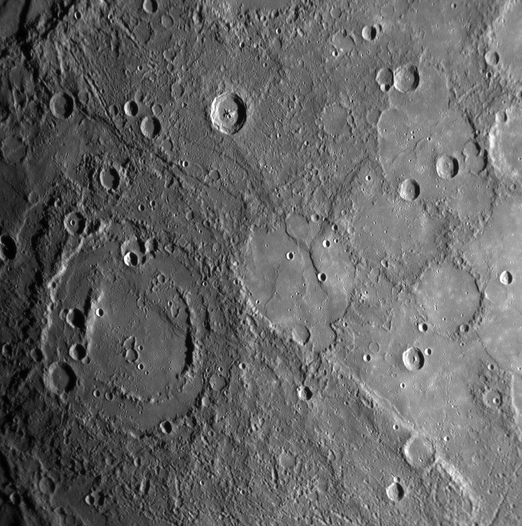
| উৎস | MESSENGER REVEALS MERCURY'S GEOLOGICAL HISTORY |
| লেখক | NASA/Johns Hopkins University Applied Physics Laboratory/Carnegie Institution of Washington |
লাইসেন্স প্রদান
| এই ফাইলটি পাবলিক ডোমেইনে আছে কারণ এটি শুধুমাত্র নাসা কর্তৃক নির্মিত হয়েছিল। নাসার কপিরাইট নীতি হচ্ছে যে "নাসা কর্তৃক উল্লেখ না থাকলে নাসার উপাদান কপিরাইট দ্বারা সুরক্ষিত নয়"। (Template:PD-USGov, নাসার কপিরাইট নীতির পাতা অথবা জেপিএল চিত্র ব্যবহারের নীতি দেখুন।) | ||
 |
সতর্কবার্তা:
|
ফাইলের ইতিহাস
যেকোনো তারিখ/সময়ে ক্লিক করে দেখুন ফাইলটি তখন কী অবস্থায় ছিল।
| তারিখ/সময় | সংক্ষেপচিত্র | মাত্রা | ব্যবহারকারী | মন্তব্য | |
|---|---|---|---|---|---|
| বর্তমান | ১৬:০১, ১০ ফেব্রুয়ারি ২০২০ | | ১,০১৬ × ১,০২৪ (৬৯২ কিলোবাইট) | SteinsplitterBot | Bot: Image rotated by 180° |
| ২২:০০, ১৭ জানুয়ারি ২০০৮ |  | ১,০১৬ × ১,০২৪ (৬৯১ কিলোবাইট) | Zginder | {{Information |Description=One of the photos released after the first flyby. |Source=http://messenger.jhuapl.edu/gallery/sciencePhotos/pics/EN0108828359M.png |Date= |Author= |Permission= |other_versions= }} |
সংযোগসমূহ
নিচের পৃষ্ঠা(গুলো) থেকে এই ছবিতে সংযোগ আছে:
ফাইলের বৈশ্বিক ব্যবহার
নিচের অন্যান্য উইকিগুলো এই ফাইলটি ব্যবহার করে:
- af.wikipedia.org-এ ব্যবহার
- ar.wikipedia.org-এ ব্যবহার
- az.wikipedia.org-এ ব্যবহার
- bg.wikipedia.org-এ ব্যবহার
- en.wikipedia.org-এ ব্যবহার
- en.wikibooks.org-এ ব্যবহার
- en.wikiquote.org-এ ব্যবহার
- es.wikipedia.org-এ ব্যবহার
- fr.wikipedia.org-এ ব্যবহার
- gu.wikipedia.org-এ ব্যবহার
- he.wikipedia.org-এ ব্যবহার
- ko.wikibooks.org-এ ব্যবহার
- mk.wikipedia.org-এ ব্যবহার
- ml.wikipedia.org-এ ব্যবহার
- ro.wikipedia.org-এ ব্যবহার
- ta.wikipedia.org-এ ব্যবহার
- tr.wikipedia.org-এ ব্যবহার
- zh.wikipedia.org-এ ব্যবহার