
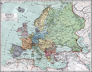
চিত্র:Europa 1890.jpg

এই প্রাকদর্শনের আকার: ৭৬৬ × ৫৯৯ পিক্সেল। অন্যান্য আকারসমূহ: ৩০৭ × ২৪০ পিক্সেল | ৬১৪ × ৪৮০ পিক্সেল | ৯৮২ × ৭৬৮ পিক্সেল | ১,২৮০ × ১,০০১ পিক্সেল | ২,৫০০ × ১,৯৫৬ পিক্সেল।
পূর্ণ রেজোলিউশন (২,৫০০ × ১,৯৫৬ পিক্সেল, ফাইলের আকার: ১.৮৪ মেগাবাইট, এমআইএমই ধরন: image/jpeg)
| এই ফাইলটি উইকিমিডিয়া কমন্স থেকে নেওয়া। সেখানের বর্ণনা পাতার বিস্তারিত নিম্নে দেখানো হলো। (সম্পাদনা)
|
সারাংশ
| বর্ণনা |
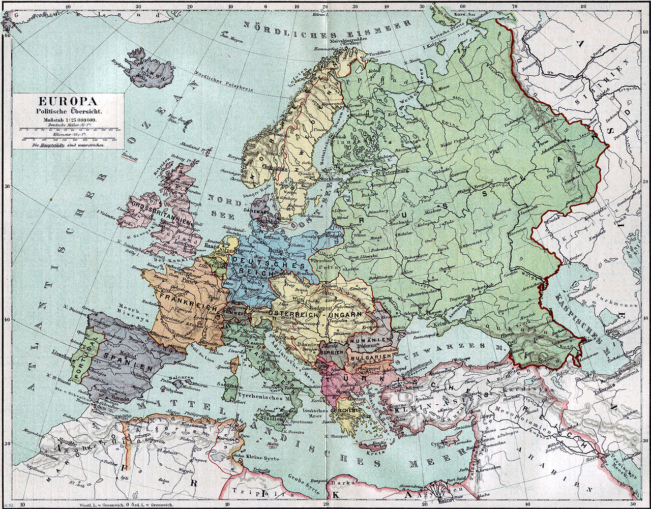
Politische Karte Europas ca. 1890 |
|||||
| তারিখ | ||||||
| উৎস | Meyers Kleines Konversationslexikon. Fünfte, umgearbeitete und vermehrte Auflage. Bd. 1. Bibliographisches Institut, Leipzig und Wien 1892. | |||||
| স্রষ্টা |
unbekannt, scan by sidonius 15:36, 7 November 2006 (UTC) |
|||||
| অনুমতি (এ ফাইলের পুনঃব্যবহার) |
|
|||||
| Warper-এ মানচিত্রের আস্তরণ | If inappropriate please set warp_status = skip to hide. | |||||
| অন্যান্য সংস্করণ | এই ফাইলের উপজাত কর্মসমূহ: Blank map of Europe 1890.svg |

_en.png)
.png)
.jpg)
ফাইলের ইতিহাস
যেকোনো তারিখ/সময়ে ক্লিক করে দেখুন ফাইলটি তখন কী অবস্থায় ছিল।
| তারিখ/সময় | সংক্ষেপচিত্র | মাত্রা | ব্যবহারকারী | মন্তব্য | |
|---|---|---|---|---|---|
| বর্তমান | ১৫:৩৬, ৭ নভেম্বর ২০০৬ | | ২,৫০০ × ১,৯৫৬ (১.৮৪ মেগাবাইট) | Sidonius | {{Information |Description=Politische Karte Europas ca. 1890 |Source=Meyers Kleines Konversationslexikon. Fünfte, umgearbeitete und vermehrte Auflage. Bd. 1. Bibliographisches Institut, Leipzig und Wien 1892. |Date=1892 |Author=unbekannt, |
সংযোগসমূহ
নিচের পৃষ্ঠা(গুলো) থেকে এই ছবিতে সংযোগ আছে:
ফাইলের বৈশ্বিক ব্যবহার
নিচের অন্যান্য উইকিগুলো এই ফাইলটি ব্যবহার করে:
- de.wikipedia.org-এ ব্যবহার
- de.wikibooks.org-এ ব্যবহার
- en.wikipedia.org-এ ব্যবহার
- et.wikipedia.org-এ ব্যবহার
- fa.wikipedia.org-এ ব্যবহার
- fr.wikipedia.org-এ ব্যবহার
- hu.wikipedia.org-এ ব্যবহার
- it.wikipedia.org-এ ব্যবহার
- mk.wikipedia.org-এ ব্যবহার
- pl.wikipedia.org-এ ব্যবহার
- pnb.wikipedia.org-এ ব্যবহার
- sa.wikipedia.org-এ ব্যবহার
- scn.wikipedia.org-এ ব্যবহার
- skr.wikipedia.org-এ ব্যবহার
- uk.wikipedia.org-এ ব্যবহার
- ur.wikipedia.org-এ ব্যবহার