
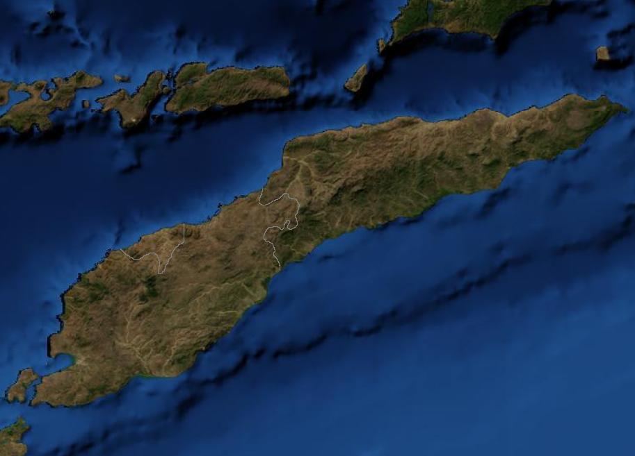
চিত্র:East Timor Satellite.jpg
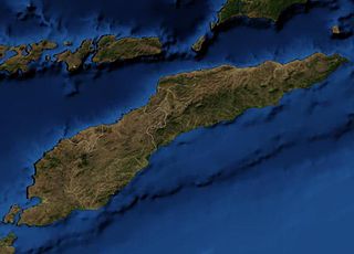
এই প্রাকদর্শনের আকার: ৮০০ × ৫৭৬ পিক্সেল। অন্যান্য আকারসমূহ: ৩২০ × ২৩০ পিক্সেল | ৬৪০ × ৪৬১ পিক্সেল | ৯১৩ × ৬৫৭ পিক্সেল।
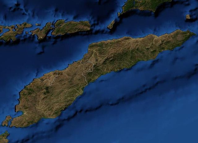
পূর্ণ রেজোলিউশন (৯১৩ × ৬৫৭ পিক্সেল, ফাইলের আকার: ৪৮ কিলোবাইট, এমআইএমই ধরন: image/jpeg)
| এই ফাইলটি উইকিমিডিয়া কমন্স থেকে নেওয়া। সেখানের বর্ণনা পাতার বিস্তারিত নিম্নে দেখানো হলো। (সম্পাদনা)
|
This file is in the public domain because it is a mosaic composed by images obtained from OpenLayers (http://openlayers.org)
|
Satellite image of East Timor.
ফাইলের ইতিহাস
যেকোনো তারিখ/সময়ে ক্লিক করে দেখুন ফাইলটি তখন কী অবস্থায় ছিল।
| তারিখ/সময় | সংক্ষেপচিত্র | মাত্রা | ব্যবহারকারী | মন্তব্য | |
|---|---|---|---|---|---|
| বর্তমান | ০৩:৩৯, ১৯ মার্চ ২০০৭ | | ৯১৩ × ৬৫৭ (৪৮ কিলোবাইট) | Waldyrious | {{PD-because|it is a mosaic composed by images obtained from OpenLayers (http://openlayers.org)}} Satellite image of East Timor. Category:Maps of East Timor |
সংযোগসমূহ
নিচের পৃষ্ঠা(গুলো) থেকে এই ছবিতে সংযোগ আছে:
ফাইলের বৈশ্বিক ব্যবহার
নিচের অন্যান্য উইকিগুলো এই ফাইলটি ব্যবহার করে:
- af.wikipedia.org-এ ব্যবহার
- en.wikipedia.org-এ ব্যবহার
- nl.wikipedia.org-এ ব্যবহার
- pl.wiktionary.org-এ ব্যবহার
- pt.wikipedia.org-এ ব্যবহার