
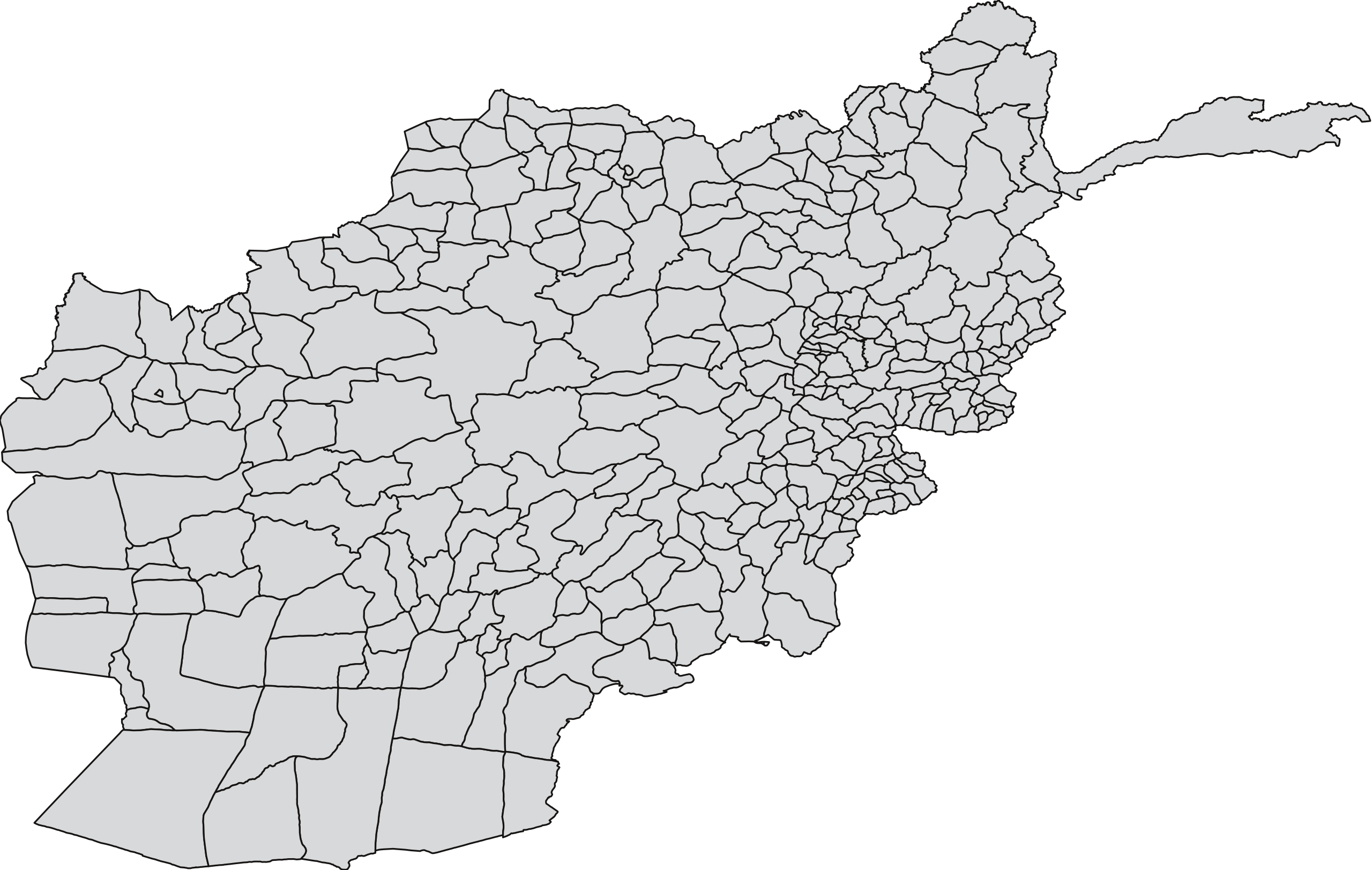
চিত্র:Blank map of Afghanistan districts.svg

এই SVG ফাইলের জন্য এই PNG প্রাকদর্শনের আকার: ৮০০ × ৫৮৯ পিক্সেল। অন্যান্য আকারসমূহ: ৩২০ × ২৩৬ পিক্সেল | ৬৪০ × ৪৭১ পিক্সেল | ১,০২৪ × ৭৫৪ পিক্সেল | ১,২৮০ × ৯৪২ পিক্সেল | ২,৫৬০ × ১,৮৮৫ পিক্সেল | ৯১০ × ৬৭০ পিক্সেল।
পূর্ণ রেজোলিউশন (এসভিজি ফাইল, সাধারণত ৯১০ × ৬৭০ পিক্সেল, ফাইলের আকার: ৭০০ কিলোবাইট)
| এই ফাইলটি উইকিমিডিয়া কমন্স থেকে নেওয়া। সেখানের বর্ণনা পাতার বিস্তারিত নিম্নে দেখানো হলো। (সম্পাদনা)
|
| বিবরণ | A blank map of the districts of Afghanistan. The districts are grouped by province and province borders are shown in red. | |||||
| তারিখ | ||||||
| উৎস |
Map originally from Maplibrary.org who in turn have extracted it from GADM version 0.9 which source the data for Afghanistan as comming from the USGS.
|
|||||
| লেখক | USGS and Lokal_Profil | |||||
| অনুমতি (এ ফাইলের পুনঃব্যবহার) |
|
|||||
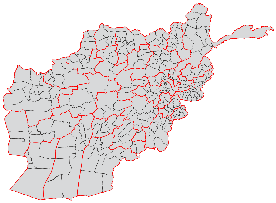
| অন্যান্য সংস্করণ |
|


ফাইলের ইতিহাস
যেকোনো তারিখ/সময়ে ক্লিক করে দেখুন ফাইলটি তখন কী অবস্থায় ছিল।
| তারিখ/সময় | সংক্ষেপচিত্র | মাত্রা | ব্যবহারকারী | মন্তব্য | |
|---|---|---|---|---|---|
| বর্তমান | ০৮:৫৫, ২১ অক্টোবর ২০১৮ | | ৯১০ × ৬৭০ (৭০০ কিলোবাইট) | Furfur | Map looked a liitle bit distorted – adjusted it to match Afghanistan_location_map.svg |
| ১৯:৫৪, ১ মার্চ ২০০৯ |  | ৭৫০ × ৪৭৫ (২.৫৭ মেগাবাইট) | Lokal Profil | Added province info | |
| ১৯:৪৫, ২৫ ফেব্রুয়ারি ২০০৯ |  | ৭৫০ × ৪৭৫ (১.৬৮ মেগাবাইট) | Lokal Profil | {{Information |Description=A blank map of the districts of Afghanistan. |Source=Map originally from [http://www.maplibrary.org/stacks/gadm/AFG/index.php Maplibrary.org] who in turn have extracted it from [http://biogeo.berkeley.edu/gadm/ GADM version 0.9] |
সংযোগসমূহ
নিচের পৃষ্ঠা(গুলো) থেকে এই ছবিতে সংযোগ আছে:
ফাইলের বৈশ্বিক ব্যবহার
নিচের অন্যান্য উইকিগুলো এই ফাইলটি ব্যবহার করে:
- ar.wikipedia.org-এ ব্যবহার
- ca.wikipedia.org-এ ব্যবহার
- de.wikipedia.org-এ ব্যবহার
- es.wikipedia.org-এ ব্যবহার
- fa.wikipedia.org-এ ব্যবহার
- fr.wikipedia.org-এ ব্যবহার
- id.wikipedia.org-এ ব্যবহার
- it.wikipedia.org-এ ব্যবহার
- ja.wikipedia.org-এ ব্যবহার
- ms.wikipedia.org-এ ব্যবহার
- new.wikipedia.org-এ ব্যবহার
- no.wikipedia.org-এ ব্যবহার
- oc.wikipedia.org-এ ব্যবহার
- pnb.wikipedia.org-এ ব্যবহার
- ضلع بامیان
- ضلع بلخ
- ضلع انار درہ
- ضلع باکواہ
- ضلع اوبہ
- ضلع ادرسکن
- ضلع بالا بلوک
- ضلع انجیل
- ضلع المار
- ضلع اندخوی
- ضلع آقچہ
- ضلع اشکمش
- ضلع بنگی
- ضلع آرگو
- ضلع آرغنج خواہ
- ضلع اشکاشیم
- ضلع باک
- ضلع برک متال
- ضلع ارچی
- ضلع اسد آباد
- ضلع برکنر
- ضلع اجرستان
- ضلع اسمار
- ضلع اندر
- ضلع آب بند
- ضلع برکہ
- ضلع اندراب
- ضلع الہ ساری
- ضلع بغلان جدید
- ضلع باغران
- ضلع برگ متال
- ضلع بزارک
- ضلع ایبک
- ضلع ارغنداب
- ضلع ارغستان
- افغانستان دے ضلعے
এই ফাইলের অন্যান্য বৈশ্বিক ব্যবহার দেখুন।