
চিত্র:Slovakia - background map.png

এই প্রাকদর্শনের আকার: ৮০০ × ৪৩১ পিক্সেল। অন্যান্য আকারসমূহ: ৩২০ × ১৭২ পিক্সেল | ৬৪০ × ৩৪৫ পিক্সেল | ১,১৭০ × ৬৩০ পিক্সেল।
পূর্ণ রেজোলিউশন (১,১৭০ × ৬৩০ পিক্সেল, ফাইলের আকার: ১.৩২ মেগাবাইট, এমআইএমই ধরন: image/png)
| এই ফাইলটি উইকিমিডিয়া কমন্স থেকে নেওয়া। সেখানের বর্ণনা পাতার বিস্তারিত নিম্নে দেখানো হলো। (সম্পাদনা)
|
সারাংশ
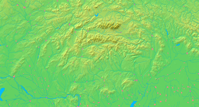
| বিবরণ | Background map of Slovakia, ready for the Geobox template, calibrated at en:Template:Geobox locator Slovakia | ||||
| তারিখ | |||||
| উৎস | Made my myself from free maps available at www.demis.nl | ||||
| লেখক | Caroig | ||||
| অনুমতি (এ ফাইলের পুনঃব্যবহার) |
|
||||
| অন্যান্য সংস্করণ | এই ফাইলের উপজাত কর্মসমূহ: Slovakia - physical map.png |
ফাইলের ইতিহাস
যেকোনো তারিখ/সময়ে ক্লিক করে দেখুন ফাইলটি তখন কী অবস্থায় ছিল।
| তারিখ/সময় | সংক্ষেপচিত্র | মাত্রা | ব্যবহারকারী | মন্তব্য | |
|---|---|---|---|---|---|
| বর্তমান | ১৯:০৭, ৮ সেপ্টেম্বর ২০০৭ | | ১,১৭০ × ৬৩০ (১.৩২ মেগাবাইট) | Caroig | better version |
| ১৮:১০, ৮ সেপ্টেম্বর ২০০৭ |  | ১,১৭০ × ৬৩০ (১.৩১ মেগাবাইট) | Caroig | ||
| ১৭:০৪, ৩ সেপ্টেম্বর ২০০৭ |  | ২,৩৪০ × ১,২৫৯ (১.৬১ মেগাবাইট) | Caroig | == Summary == {{Information |Description=Background map of Slovakia, for Geoboxes, the same boundaries as Image:Slovakia - outline map.svg |Source=Made my myself from free maps available at www.demis.nl |Date=2007-09-03 |Autho |
সংযোগসমূহ
এই ফাইল ব্যবহার করে এমন কোনো পাতা নেই।
ফাইলের বৈশ্বিক ব্যবহার
নিচের অন্যান্য উইকিগুলো এই ফাইলটি ব্যবহার করে:
- ar.wikipedia.org-এ ব্যবহার
- arz.wikipedia.org-এ ব্যবহার
- en.wikipedia.org-এ ব্যবহার
- eo.wikipedia.org-এ ব্যবহার
- Distrikto Komárno
- Distrikto Zvolen
- Hron
- Granda Fatro
- Nacia parko Poloniny
- Sajó
- Distrikto Detva
- Distrikto Krupina
- Distrikto Banská Štiavnica
- Distrikto Žarnovica
- Distrikto Žiar nad Hronom
- Distrikto Banská Bystrica
- Distrikto Veľký Krtíš
- Distrikto Poltár
- Distrikto Lučenec
- Distrikto Brezno
- Distrikto Rimavská Sobota
- Distrikto Revúca
- Distrikto Rožňava
- Distrikto Levice
- Distrikto Snina
- Distrikto Svidník
- Distrikto Prešov
- Distrikto Humenné
- Distrikto Medzilaborce
- Distrikto Stropkov
- Distrikto Stará Ľubovňa
- Váh
- Distrikto Bardejov
- Distrikto Sabinov
- Distrikto Bytča
- Distrikto Bánovce nad Bebravou
- Distrikto Dolný Kubín
- Distrikto Dunajská Streda
- Distrikto Galanta
- Distrikto Gelnica
- Distrikto Hlohovec
- Distrikto Ilava
- Distrikto Kežmarok
- Distrikto Košice-ĉirkaŭaĵo
- Distrikto Kysucké Nové Mesto
এই ফাইলের অন্যান্য বৈশ্বিক ব্যবহার দেখুন।