
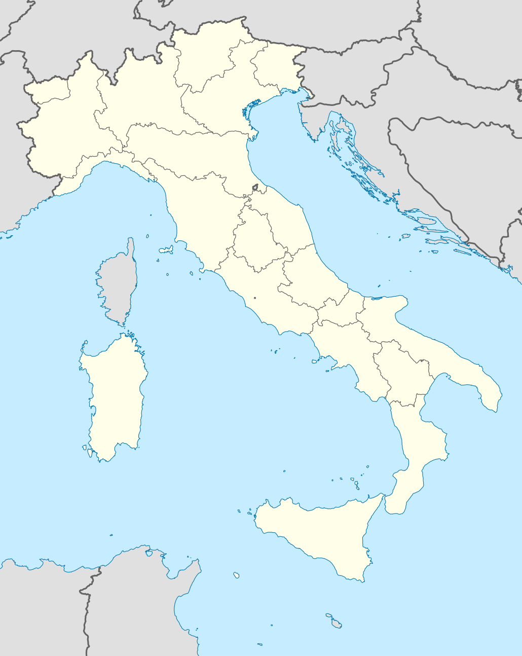
চিত্র:Italy location map.svg

এই SVG ফাইলের জন্য এই PNG প্রাকদর্শনের আকার: ৪৭৭ × ৬০০ পিক্সেল। অন্যান্য আকারসমূহ: ১৯১ × ২৪০ পিক্সেল | ৩৮২ × ৪৮০ পিক্সেল | ৬১১ × ৭৬৮ পিক্সেল | ৮১৪ × ১,০২৪ পিক্সেল | ১,৬২৯ × ২,০৪৮ পিক্সেল | ১,০৩০ × ১,২৯৫ পিক্সেল।
পূর্ণ রেজোলিউশন (এসভিজি ফাইল, সাধারণত ১,০৩০ × ১,২৯৫ পিক্সেল, ফাইলের আকার: ৭৪৩ কিলোবাইট)
| এই ফাইলটি উইকিমিডিয়া কমন্স থেকে নেওয়া। সেখানের বর্ণনা পাতার বিস্তারিত নিম্নে দেখানো হলো। (সম্পাদনা)
|
সারাংশ
| বিবরণ |
Quadratische Plattkarte, N-S-Streckung 132,898 %. Geographische Begrenzung der Karte:
Equirectangular projection, N/S stretching 132,898 %. Geographic limits of the map:
Proiezione equirettangolare, allargamento N/S 132,898 %. Limiti geografici della mappa:
|
||
| তারিখ | 06-07-2008 | ||
| উৎস | own work, using United States National Imagery and Mapping Agency data | ||
| লেখক | NordNordWest | ||
| অন্যান্য সংস্করণ |
এই ফাইলের উপজাত কর্মসমূহ:
|
||
| SVG genesis | এই মানচিত্রটি Inkscape দিয়ে তৈরি করা হয়েছে।
|


.png)
.svg)
লাইসেন্স প্রদান
আমি, এই কাজের স্বত্বাধিকারী, এতদ্দ্বারা আমি এই কাজকে নিম্ন বর্ণিত লাইসেন্সের আওতায় প্রকাশ করলাম:

|
এই নথি অনুলিপি, বিতরণ এবং/বা পরিবর্তন করার অনুমতি ফ্রি সফটওয়্যার ফাউন্ডেশন কর্তৃক প্রকাশিত গনু ফ্রি ডকুমেন্টেশন লাইসেন্স, সংস্করণ ১.২ বা তার পরবর্তী সংস্করণের আওতায় অনুমতিপ্রাপ্ত; যে কোনো রকম অনুচ্ছেদ পরিবর্তন, সম্মুখ-প্রচ্ছদের লেখা, পিছন-প্রচ্ছদের লেখা পরিবর্তন করা ছাড়াই। এই লাইসেন্সের একটি অনুলিপি গনু ফ্রি ডকুমেন্টেশন লাইসেন্স শিরোনামের অনুচ্ছেদে অন্তর্ভুক্ত করা আছে। |
এই ফাইলটি ক্রিয়েটিভ কমন্স অ্যাট্রিবিউশন-শেয়ার অ্যালাইক ৩.০ আনপোর্টেড লাইসেন্সের আওতায় লাইসেন্সকৃত।
- আপনি স্বাধীনভাবে:
- বণ্টন করতে পারেন – এ কাজটি অনুলিপি, বিতরণ এবং প্রেরণ করতে পারেন
- পুনঃমিশ্রণ করতে পারেন – কাজটি অভিযোজন করতে পারেন
- নিম্নের শর্তাবলীর ভিত্তিতে:
- স্বীকৃতিপ্রদান – আপনাকে অবশ্যই যথাযথ স্বীকৃতি প্রদান করতে হবে, লাইসেন্সের একটি লিঙ্ক সরবরাহ করতে হবে এবং কোনো পরিবর্তন হয়েছে কিনা তা নির্দেশ করতে হবে। আপনি যেকোনো যুক্তিসঙ্গত পদ্ধতিতে এটি করতে পারেন। কিন্তু এমন ভাবে নয়, যাতে প্রকাশ পায় যে লাইসেন্সধারী আপনাকে বা আপনার এই ব্যবহারের জন্য অনুমোদন দিয়েছে।
- একইভাবে বণ্টন – আপনি যদি কাজটি পুনঃমিশ্রণ, রুপান্তর, বা এর ওপর ভিত্তি করে নতুন সৃষ্টিকর্ম তৈরি করেন, তবে আপনাকে অবশ্যই আপনার অবদান একই লাইসেন্স বা একই রকমের লাইসেন্সের আওতায় বিতরণ করতে হবে।
আপনি আপনার পছন্দসই লাইসেন্স নির্বাচন করতে পারেন।
ফাইলের ইতিহাস
যেকোনো তারিখ/সময়ে ক্লিক করে দেখুন ফাইলটি তখন কী অবস্থায় ছিল।
| তারিখ/সময় | সংক্ষেপচিত্র | মাত্রা | ব্যবহারকারী | মন্তব্য | |
|---|---|---|---|---|---|
| বর্তমান | ০৮:৪৬, ১৯ জুন ২০২১ | | ১,০৩০ × ১,২৯৫ (৭৪৩ কিলোবাইট) | NordNordWest | upd Marche/Emilia Romagna |
| ০৬:৪২, ১১ সেপ্টেম্বর ২০১০ |  | ১,০৩৪ × ১,২৯৯ (১.৪২ মেগাবাইট) | Citypeek | Made one layer of the entire picture. Better for adding new stuff. | |
| ০৯:৫৮, ২২ আগস্ট ২০০৯ |  | ১,০৩৪ × ১,২৯৯ (১.৪ মেগাবাইট) | Actormusicus | updating borders after important variation (http://www.gazzettaufficiale.it/guridb/dispatcher?service=1&datagu=2009-08-14&task=dettaglio&numgu=188&redaz=009G0127&tmstp=1250276942469) | |
| ১২:৩৮, ৬ মে ২০০৯ |  | ১,০৩৪ × ১,২৯৯ (১,০১২ কিলোবাইট) | NordNordWest | corr | |
| ১৮:২৭, ১২ মার্চ ২০০৯ |  | ১,০৩২ × ১,২৬৭ (১,০০৯ কিলোবাইট) | NordNordWest | corr | |
| ১৬:৩০, ৬ জুলাই ২০০৮ |  | ১,০৩২ × ১,২৬৭ (১,০১০ কিলোবাইট) | NordNordWest | {{Information |Description= {{de|Positionskarte von Italien}} Quadratische Plattkarte, N-S-Streckung 130 %. Geographische Begrenzung der Karte: * N: 47.4° N * S: 35.3° N * W: 6.2° O * O: 19.0° O {{en|Location map of Italy |
সংযোগসমূহ
নিচের পৃষ্ঠা(গুলো) থেকে এই ছবিতে সংযোগ আছে:
- এরকোলানো
- কাম্পানিয়া
- তুরিন
- ত্রিয়েস্তে
- দুইনো
- ভেনিস
- ভৌগোলিক আয়তন অনুযায়ী সার্বভৌম রাষ্ট্র ও নির্ভরশীল অঞ্চলসমূহের তালিকা
- টেমপ্লেট:অবস্থান মানচিত্র
- টেমপ্লেট:অবস্থান মানচিত্র/নথি
- টেমপ্লেট:অবস্থান মানচিত্র ইতালি
- টেমপ্লেট:অবস্থান মানচিত্র ইতালি/নথি
- মডিউল:অবস্থান মানচিত্র/উপাত্ত/ইতালি
- মডিউল:অবস্থান মানচিত্র/উপাত্ত/ইতালি/নথি
ফাইলের বৈশ্বিক ব্যবহার
নিচের অন্যান্য উইকিগুলো এই ফাইলটি ব্যবহার করে:
- ab.wikipedia.org-এ ব্যবহার
- af.wikipedia.org-এ ব্যবহার
- als.wikipedia.org-এ ব্যবহার
- Rom
- Palermo
- Mailand
- Pisa
- Alagna Valsesia
- Florenz
- Parma
- Neapel
- Issime
- Rimella
- Formazza
- Macugnaga
- Rima San Giuseppe
- Alatri
- Ancona
- Lucera
- Vorlage:Positionskarte Italien
- Ravenna
- Genua
- Carcoforo
- Gaby (Aostatal)
- Predore
- Benutzer:Holder/Test Italien
- Syrakus
- Siligo
- Bari
- Venedig
- Salerno
- Orvieto
- Bolsena
- Bologna
- Tarquinia
- Allein (Aostatal)
- Antey-Saint-André
- Aosta
এই ফাইলের অন্যান্য বৈশ্বিক ব্যবহার দেখুন।